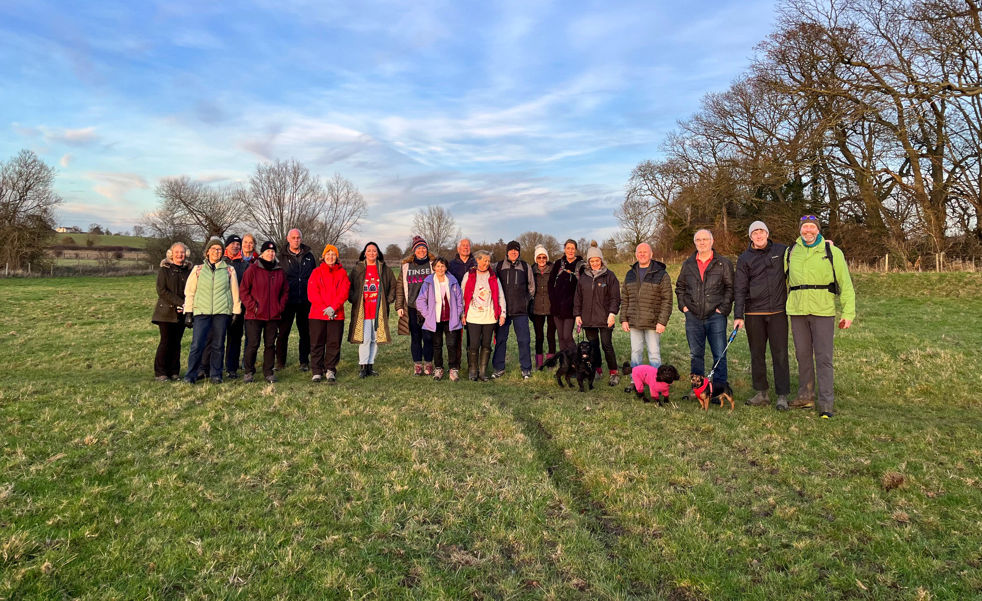
With thanks to John Parsons
We all, or most of us, have an address to which we feel we belong. But have you ever wondered how that address came into being, or indeed, if there might be a story behind it?
In Meppershall, we have a mixture of old and new, geographical and historic, memorials and commemorations. As our village has grown, more addresses have had to be created and, in an effort to maintain links with the village heritage, the Parish Council, who are entitled to suggest names for village roads, elected to nominate names with links to the village and its peoples.
Clearly, in the past when villages were much smaller, everybody knew everybody else and where they lived and probably until the advent of the postal system, a formal address was not needed. However, times change!
Probably the first road name within the village was High Street, signifying the road along which most of the houses were built. Most places have a High Street or High Road and is a good indication of the oldest part of the settlement.
The next category could be described as geographical, being the road that leads to…. Hence, we have Shillington, Campton, Stondon, Hitchin and Shefford Roads although not all of them have always been so named or indeed led to the place or to have existed at all. For instance, Stondon Road was once Sand Lane, since it led to one of the village sandpits. Shefford Road is a relatively recent arrival, the traditional route to Shefford being along what is now known as Hoo Road to Hoo Farm and via the road from there into Shefford. At the time of the nineteenth century Meppershall Enclosure of the medieval fields the track that had traditionally led to Campton was stopped up, presumably by the new owner of the fields who did not want all and sundry travelling across his land. The present road was reinstated in due course. In the case of Hitchin Road, it is possible that many residents might have been unaware that the road designated as the A600 is partly in the parish with the parish boundary to be found running up the centre of the carriageway.
Further geographical links can be found with Chapel, Church and Rectory Roads. Chapel Road is associated with St Thomas’s Chapel, situated now on Chapel Farm, one of the medieval manor farms. Rectory Road would have been the route from the Church to the Rectory, now known as Monks Pool, built by the eighteenth-century Rector, Thomas Webster. Hopefully no explanation of Church Road is needed!
The last of the parish roads which could be described as being part of the old settlement and will have been in existence for several centuries are Fildyke and Hoo Roads. The name Fildyke is nothing to do with filling dykes but is derived from field wick, meaning land used for a special purpose such as milking the cows but separated from the associated farmstead. Hoo Road, originally Hoo Lane would have been the lane leading to the hamlet named Hoo, a locality name for a sharply rising hill, probably the hill up from Shefford past Wren Park. Up until recently Hoo Road was known to older villagers as Old Road. Until the reopening of the road to Shefford as it is now, the route to Shefford was via Hoo Road and down Hitchin Hill, then a turnpike road. Hence it was the ‘old road’. The name has been marked in the naming of Old Road Meadow, the village Nature Reserve.
In recent times, as has already been noted road names have been chosen to reflect village heritage. Again, some are geographical, some commemorate village history and some are linked to notable former residents.
Beginning with the geographical category, many names are linked to old field names. Before the advent of modern mapping villagers would have needed to be able to describe a piece of land to others, so most fields had their own name. Thus, we find Walnut Tree Way. Gregory Close, Harriets Field and The Acres. All are close to pieces of land of that name, originating in the nineteenth century or earlier and collected and recorded from old village memory. Gregories Close appears in a lease from Henry, Lord Grey of Wrest Park from 1640. Crackle Hill is taken from one of the spellings of the name of the hill rising up beyond the Village Hall. The ridge of which Crackle Hill is part, forms some of the highest points of the village which gives rise to Hilltop View. Halberycroft appears in a lease from the prior of Chicksands in 1441, the name comes from the Old English for a wholesome or salutary place.
Until 1853 a large proportion of the farm land in Meppershall was still to be found as eight large open fields, reflecting the medieval farming system of strip farming. Among the names of the great fields were Banland (Croft) and Coneygate. As part of this medieval system there would have been areas of common grazing land for livestock. Lyspitt Common was one such area.
Since much of its course through the village is through culverts or along the rear boundaries of many properties many may be unaware that Meppershall has a small brook running through it. The stream rises as a spring in what used to be the village pond near the church and known as the Marywell. The first part of its journey lies to the rear of the road bearing the name then follows the approximate line of the High Street before giving name to Brookside and Brookmead.
The last of what might be described as geographically connected names begin in the south with St Marys Place noting the dedication of our church to St Mary the Virgin. Moving northwards Fowlers Drive leads towards Fowlers Farm. The earliest known occupier of the farm was George Fowler, son of George Fowler of Woodhall, a yeoman farmer who died in 1739. Glovers Drive marks the site of an early village industry, the Overhand Glove factory which began making Khaki gloves for the Services in 1917. A slight diversion eastward leads to Old Nurseries Close, the site of one of the large number of glasshouse nurseries which in the past were a very significant part of the economy and employment in the village. Returning to our northward progress brings us to Orchard Close. Meppershall has a long history of market gardening or horticulture and from early mapping it can be seen this included large areas of orchards, particularly cherries. Stocking Drive may be found on land broadly corresponding to an area known in 1846 by the Old English name ‘Stokking’. Finally at the northern end Woodview Lane leads towards the ancient woodland known as Nunswood.
Returning to the south again Robinson Grove commemorates John Robinson, second son of the village blacksmith who emigrated to America in the early 17th century and after an eventful life, including the founding of townships, now cities, was killed by Native Americans while hunting with his sons. One of the turnings off the High Street is Taylors Close, a family name with connections to many aspects of the village in the past. Buxton Close, leading off Fildyke Road, was named for Joe and Edna Buxton, both of whom made major contributions to village life in their time. Joe was Chairman of the Parish Council for many years. Meppershall has been fortunate to have had a village school since 1698 when it was founded by Mistresses Sarah and Elizabeth Emery, daughters of the village squire Richard Emery. They are commemorated with Emery Croft. Also, at the northern end of Shefford Road, Pestell Grove remembers Thomas Pestell, a farmer tenant at Chapel Farm who served as Churchwarden, Overseer of the Poor, a Trustee of the Emery School and Highway Surveyor, He was born in 1720 and died in 1785 and is buried in Meppershall Churchyard. Thus, we reach the end of the long list or roads, lanes, closes and drives which make up our village.
Meppershall has a long history, almost 940 years since being recorded by William the Conquerors’ Auditors in 1086, and it is to be hoped that by incorporating some of the heritage into the modern infrastructure then it will remain memorable.
The research behind many of the choices of road names has been greatly facilitated by the excellent Parish History researched and published by the late Dr. V. H. Chambers and due acknowledgement is hereby offered.